
Explore Rondane
7 nights trekking trip with luggage transfers
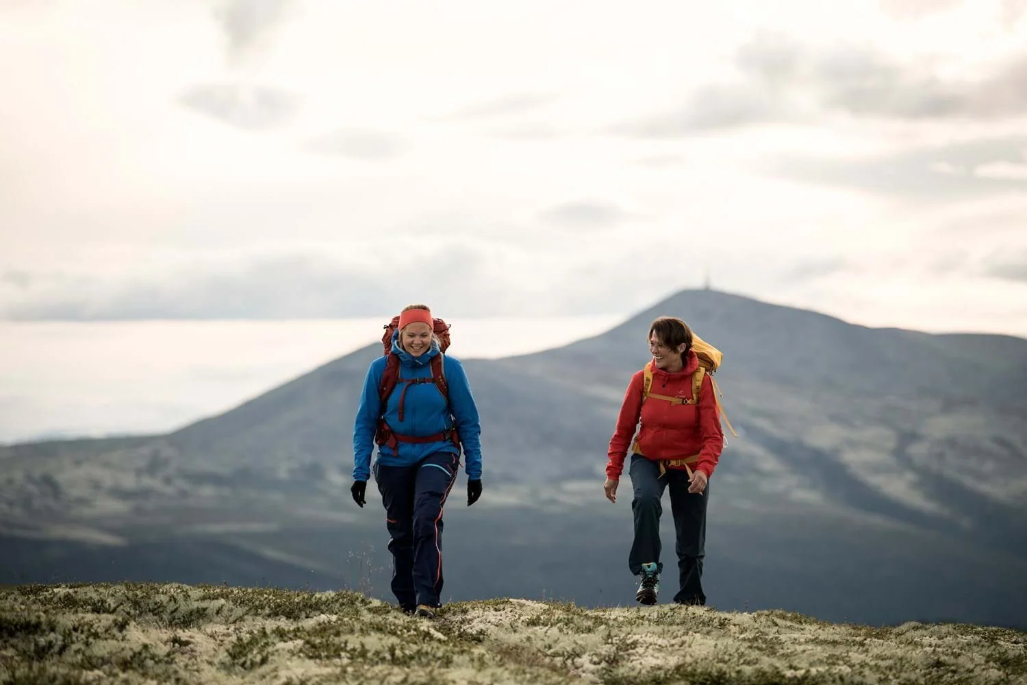
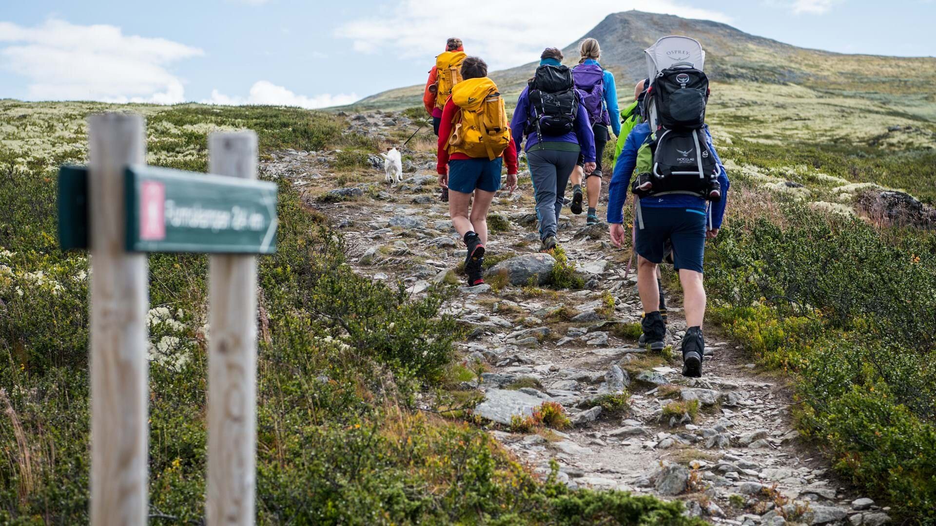
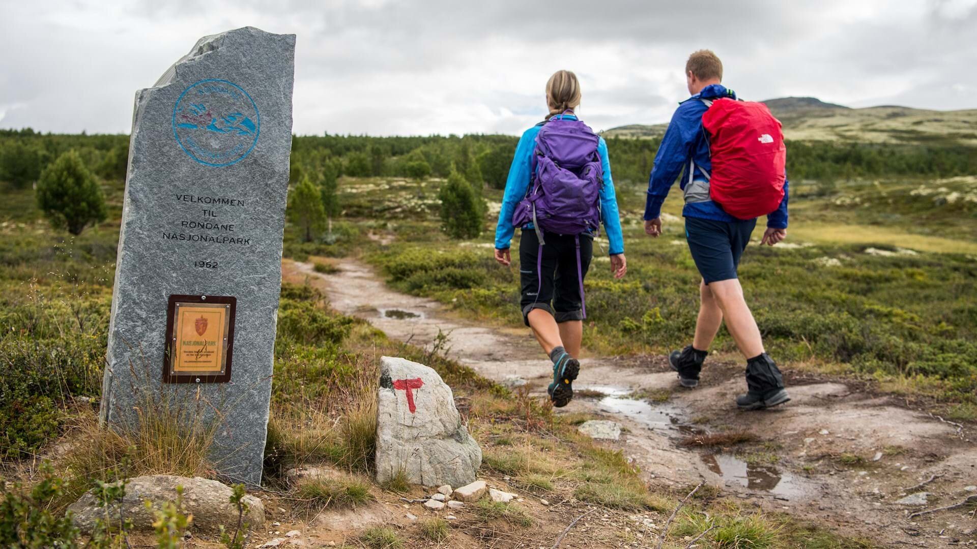
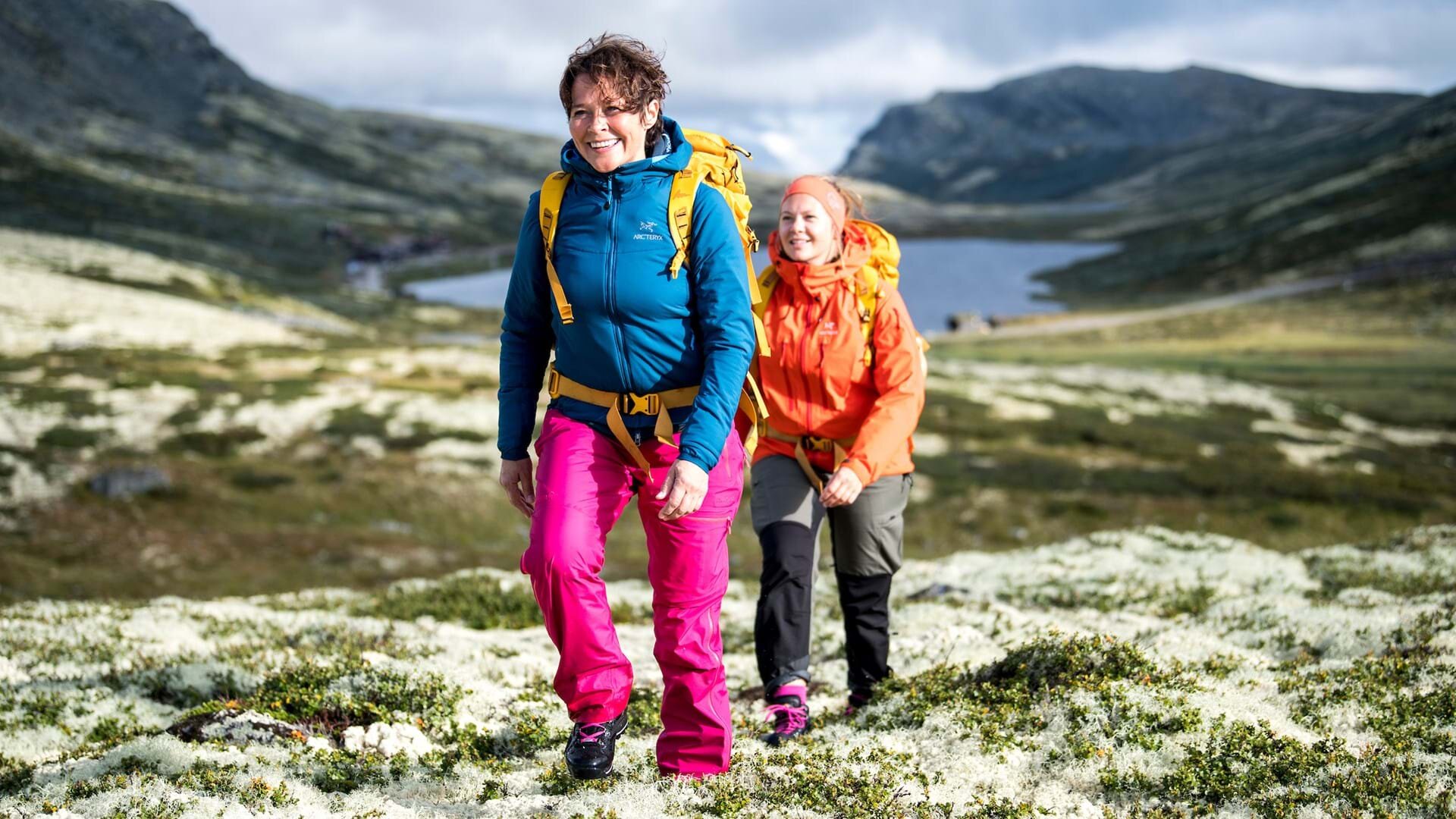
Welcome to Rondane National Park
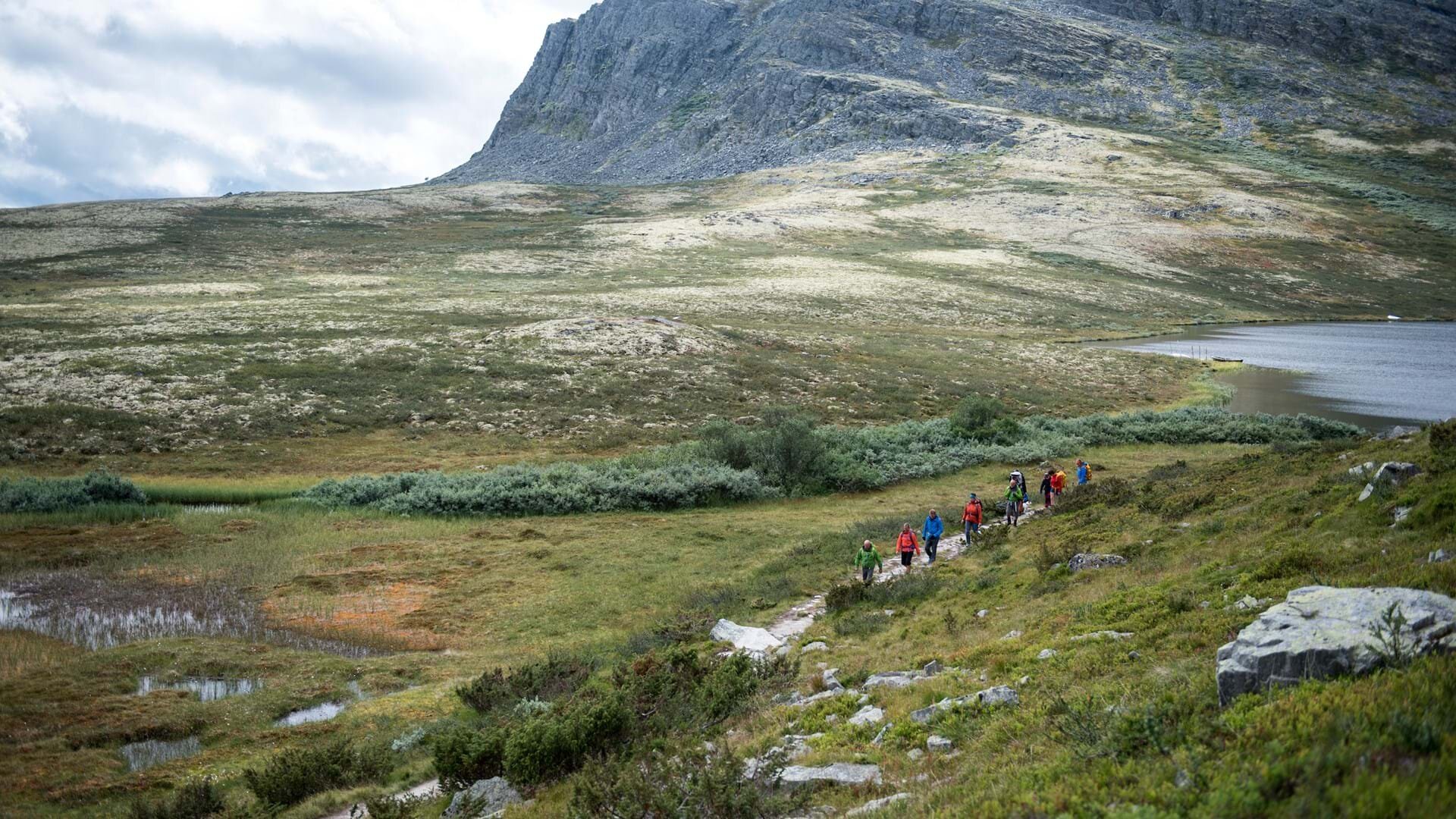
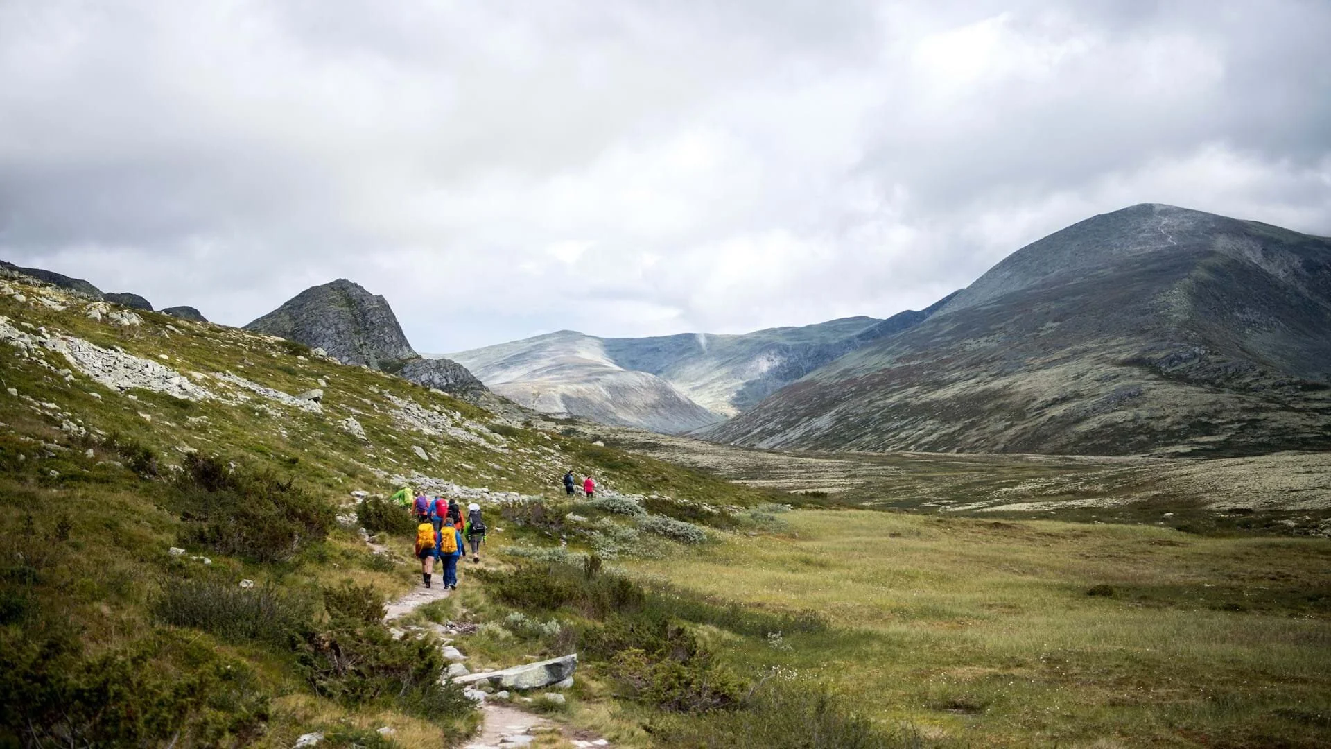
We invite you to explore Norway’s oldest National Park, famous for its great trails, majestic scenery and one of Norway’s largest herds of wild reindeer. Rondane’s history as a National Park dates back to 1962. Today, it covers an area of almost 1,000 square kilometres in the counties of Oppland and Hedmark. When you get above the tree line in Rondane, you are greeted by endless expanses of heather and moss and shrubbery in a variety of faded colors, with tall and barren peaks rising up above. The highest one is Rondeslottet at 2,178 masl., one of ten peaks here that reach beyond 2,000 meters in height.

Program
Day 1
Activity: Arrival
Distance: -
Elevation gain: -
Accomodation: Øigardseter
Day 2
Activity: Øigardseter - Putten Seter
Distance: 8 km (3-4 hrs)
Elevation gain: 460 m
Accomodation: Putten Seter
Day 3
Activity: Optional day trip
Distance: -
Elevation gain: -
Accomodation: Putten Seter
Day 4
Activity: Putten Seter - Smuksjøseter
Distance: 10 km (5-6 hrs)
Elevation gain: 460 m
Accomodation: Smuksjøseter
Day 5
Activity: Optional day trip
Distance: -
Elevation gain: -
Accomodation: Smuksjøseter
Day 6
Activity: Optional day trip
Distance: -
Elevation gain: -
Accomodation: Smuksjøseter
Day 7
Activity: Smuksjøseter - Øigardseter
Distance: 7 km (2.5-3 hrs)
Elevation gain: 40 m
Accomodation: Øigardseter
Day 8
Activity: Departure day
Distance: -
Elevation gain: -
Accomodation: -
Acommodation
You’ll be staying at three family-owned and comfortable mountain lodges. All of them have rooms with private facilities, and kitchens with traditional Norwegian mountain cuisine.

Øigardseter
A large lodge with hotel standard, located in the popular mountain village of Høvringen.
Hosts: The Lyftingsmo family
Address: Høvringsvegen 916, N-2673 Høvringen
Phone: (+47) 61 23 37 13
Web: oigardseter.no

Putten seter
Putten Seter Originally a small mountain pasture, now converted into a cozy getaway with traditional cottages, apartments and rooms.
Hosts: The Svastuen family
Address: Puttenvegen 481, N-2673 Høvringen
Phone: (+47) 61 23 30 12
Web: puttenseter.no

Smuksjøseter
This traditional mountain lodge is located along the shore of a beautiful lake in quiet surroundings.
Hosts: The Skaugen family
Address: Smuksjøsetervegen, N-2673 Høvringen
Phone: (+47) 61 23 37 19
Web: smuksjoseter.no
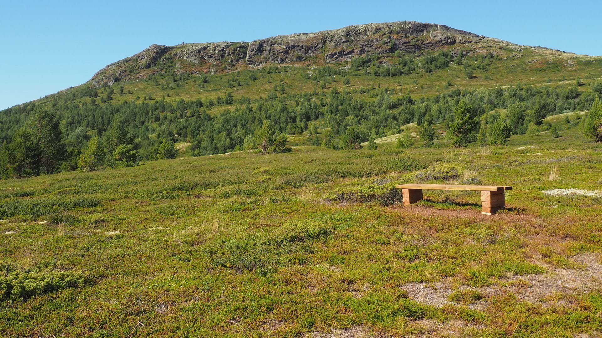
Vardhøe
Vardhøe
Easily accessible viewpoint from Høvringen
About the trip:
The hike to Vardhøe is a nice loop from Høvringen and up on the nearest mountain near Øigardseter. It can be accomplished by most hikers, even small children. If you hike up in the late afternoon you can catch the sunset from here as well.
Trail description:
Start at Øigardseter. Follow the gravel road about 200 meters before taking the blue-marked trail. After about 250 meters there’s a sign to Vardhøe. The trail is dry with a gentle gradient to the ridge of the mountain, where the path divides. Take the blue-marked trail and after a few meters follow the path to the top.
There’s a steep climb before you reach the plateau and the large cairn at the summit. When you descend, continue on the blue-marked trail to Skogsetrene. After a few hundred meters, you will be on the old trail between Høvringen and Skogsetrene. The blue-marked trail leads through the pass to Høvringen. There are a few wet areas before you join the blue-marked trail from the Dovrehytta cabin, back to Høvringen.
Outtt link:
outtt.com/en/adventures/9654
This hike is optional
The hike to Vardhøe is a great afternoon trip from Øigardseter if you have some time to spare on your arrival or departure day.
Hike facts
Distance 5.3 km (loop)
Time 3-4 hours
Elevation gain 230 meters
Max. elevation 1116 masl
Difficulty level easy.
Øigardseter - Putten Seter
About the trip:
Historic Øigardseter with its protected houses and mountain pastures is the starting point of this family-friendly hike that takes you over Karihaugen to Putten Seter. In course of its 8 kilometers, the trail takes you 1260 meters above sea level to astonishing views of the mountains of Jotunheimen and Dovre.
You enter grounds that have inspired numerous Norwegian painters, writers, and composers with its beautiful and imposing nature. It used to be dominated by mountain farms, but since the end of the 19th century tourism has come to be one of the defining characters of the area.
Trail description:
Starting out from Øigardseter, you follow the signs to Putten Seter. You want to get on the trail that takes you over the peak called Karihaugen. From Øigardseter, at about 900 meter above sea level, up to Karihaugen there is a gradual ascent. The peak is approximately two thirds into your hike, and from Karihaugen’s 1260 meters above sea level you have a great view of Jotunheimen and the Dovre mountains. The rest of the hike is a slow descent of about 300 meters down to Putten Seter.
Outtt link: outtt.com/en/adventures/31471
Hike facts
Distance 7.8 km (point-to-point)
Time 3-4 hours
Elevation gain 460 meters
Max. elevation 1277 masl
Difficulty level medium
Nice to know
■ If you feel like taking a little detour, there are 100 year old animal burial grounds to the left of the trail, just before you reach the top of Karihaugen.
■ Three hundred meters from Putten Seter there is a chapel called Rossbukapell, which you can visit.
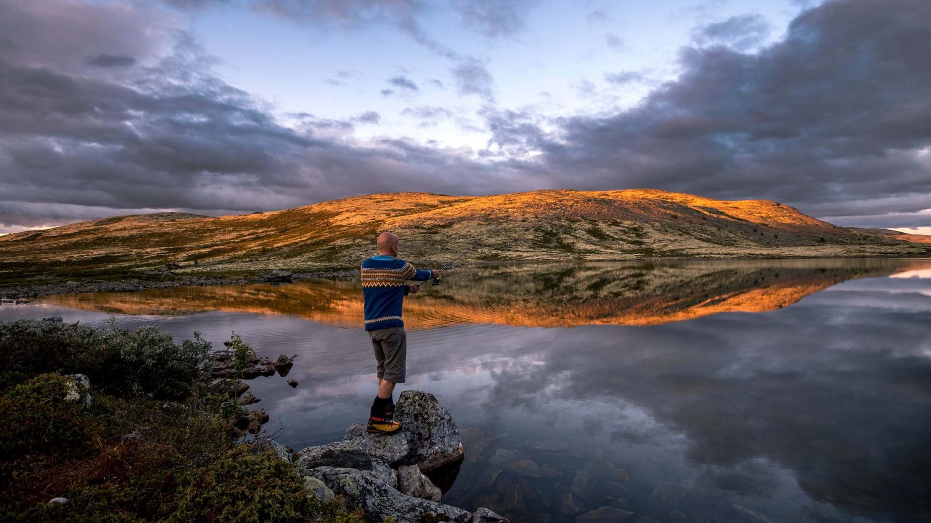
Harrtjern
Family-friendly hiking and fishing trip
About the trip:
A trip to the three small Hårrtjønnin lakes, also known as Harrtjern, is a relaxing hiking adventure for the entire family. Make sure to bring a fishing rod, as there are a lot of trout to fish. The northern lake is said to be the best for fishing, but all lakes have plenty of fish and do not require a fishing license. For an extra “koselig” (cozy) time bring coffee and hot cocoa to make over the open fire.
The terrain to the lakes is rather flat and the shores are surrounded by fine rocks rather than sand.
Trail description:
The hike begins at Putten Seter cabins and is a rocky mountain trail that is relatively flat throughout the entire trip. You will get great views of the surrounding mountains, without gaining much elevation. The trip ends at the three lakes of Hårrtjønnin.
If you prefer to extend the trip, you can hike to Karihaugen and Anaripigg, or Kluftåthaugen and the Fugleskjelle mountains.
Outtt link: outtt.com/en/adventures/3020
This hike is optional
This hike is one of two optional day trips you can do during your free day at Putten Seter. Ask the staff for advice if you need help to choose, or if you’re curious about other possibilities in the area.
Hike facts
Distance 7.5 km (loop)
Time 1.5-2 hours
Elevation gain 300 meters
Max. elevation 1120 masl
Difficulty level easy.
Nice to know
■ Fishing gear is available for rent at Putten Seter if you don’t bring your own
■ In the late summer and early autumn, bring a bucket for collecting all the blueberries you will see on the trip.
Formokampen
360 degree views of more than 40 peaks
About the trip:
Formokampen is a popular mountain peak providing amazing views of the mountains in all directions, including Norway’s highest mountains, Galdhøpiggen and Glittertinden. There is a mountain sighting disc at the top to help you name the surrounding mountains and viewpoints.
The hike to Formokampen is suitable for all ages which is unique for all the incredible views that it offers at the top.
On your way to the summit, you will pass 14 stone-lined pits and stone funnel traps used for trapping reindeer, most likely during the Viking Age and early Middle Ages. These pits were designed to capture reindeer from any side and were strategically camouflaged and nestled into the landscape.
Trail description:
The trip begins at Putten Seter. Follow the gravel road until you cross a small bridge. Then make a sharp left turn onto the red-marked trail. The trail heads past a few cabins, then through a small marshy area, before continuing through a birch forest. After some time, the trail crosses a stream before reaching the ridge towards Formokampen. The last few kilometers are fairly steep and quite rocky in places, so it is not advised to hike in bad weather.
Outtt link: outtt.com/en/adventures/3019
This hike is optional
This hike is one of two optional day trips you can do during your free day at Putten Seter. Ask the staff for advice if you need help to choose, or if you’re curious about other possibilities in the area. Please note that Formokampen can also be climbed as a detour from the hike between Putten Seter and Smuksjøseter.
Hike facts
Distance 9 km (out-and-back)
Time 3-4 hours
Elevation gain 470 meters
Max. elevation 1428 masl
Difficulty level medium
Nice to know
■ No matter if it is sunny or cloudy, the winds are strong on this mountain so make sure you wear layers.
Putten Seter - Smuksjøseter
About the trip:
Enter the land of trolls and Norwegian fairy tales as you hike through the heather-covered landscape of the Rondane national park with its small, gurgling streams and tall, rugged mountains. From the renowned sour cream waffles of Putten Seter to Smuksjøseter situated by the shimmering lake Høvringsvatnet, you’ll enjoy panoramic views on a family-friendly trail in easy terrain.
Trail description:
Heading out from Putten Seter at 940 meters above sea level, the 10 kilometers to Smuksjøseter is an easy hike on a nice, dry trail. The trail is marked all the way as you walk through the unspoiled nature of the national park. Just before you reach Smuksjøseter, there is a slightly steeper ascent up to a peak of 1320 meters above sea level, otherwise it is a slow and even ascent from Putten Seter. From the peak down to Smuksjøseter there is a mild descent of about 200 meters.
Outtt link: outtt.com/en/adventures/31482
Hike facts
Distance 10.1 km (point-to-point)
Time 5-6 hours
Elevation gain 460 meters
Max. elevation 1320 masl
Difficulty level medium
Nice to know
■ For those who wish to include another peak with a great view to the hike, you can climb up Formokampen on the way to Smuksjøseter.
Peer Gynt Loop
About the trip:
This loop taking you from Smuksjøseter to the Peer Gynt cabin in Rondane National Park is a perfect starter for hikes around Høvringen.
The trail is easy to hike and highlights why so many people enjoy hiking in Rondane. The trail is clear and has no steep sections or other difficulty areas. There are great views all around, including a glimpse of the range of peaks hovering 2,000 meters above sea level further inside the national park.
Trail description:
From Smuksjøster follow the trail that ascends behind the Smuksjøseter cabin and goes just north of the hill called Solsidevassberget. The trail continues through the sparse vegetation towards Kjonsdalsbekken creek, that you need to cross.
Follow the signs towards Peer Gynt and as you get close to the cabin you will cross the river coming down from the mountains. Make sure to stop here and enjoy the river tumbling down through the rocks.
From the Peer Gynt cabin follow the trail that heads down towards the first of the three Høvringsvatnet lakes, where the third is the lake by Smuksjøseter. This last five kilometers from the Peer Gynt cabin to Smuksjøseter is very flat and the trail is easy to follow.
Outtt link: outtt.com/en/adventures/30703
This hike is optional
This hike is one of two optional day trips you can do during your free days at Smuksjøseter. Ask the staff for advice if you need help to choose, or if you’re curious about other possibilities.
Hike facts
Distance 8 km (loop)
Time 3-4 hours
Elevation gain 150 meters
Max. elevation 1215 masl
Difficulty level medium
Nice to know
■ The Peer Gynt cabin is open daily between July 3–August 17, and serves some of the best waffles to be found anywhere in the Norwegian mountains.
Bråkdalsbelgen
About the trip:
This less traveled peak is a real hidden gem. This is mostly because it falls just short of the magic 2,000 meter mark by just 85 meters. But rest assured that this peak is just as fun as its famous neighbors like Rondeslottet. A great view of Rondane and the scenic Verkilsdalen valley awaits you.
Trail description:
From Smuksjøseter follow the trail along Lake Høvringsvatnet towards the Peer Gynt Cabin. This trail takes you past two more lakes sharing the same name. The first five kilometers to the Peer Gynt Cabin is fairly easy and flat and after reaching the third lake, Bråkdalsbelgen and all the other peaks in Rondane National Park will come into view. As you near the cabin you will cross the river on a small bridge. Make sure to stop here and enjoy the river tumbling down from the mountains. The cabin is a perfect place for a rest before continuing upwards towards Bråkdalsbelgen.
Follow the trail that starts behind the main cabin and leads along the eastern side of the river. After about one kilometer cross the creek in Tomasholet. This is where the steepest section of the trail begins. Follow the trail along the ridge all the way up to the first plateau at 1,760 meters above sea level. As you hike up, the plateau will look like the top, but you still have 150 meters left to climb.
After crossing the plateau hike the last section up to the peak. The other side of the peak has a steep vertical drop so take care as you near the top.
Outtt link: outtt.com/en/adventures/30701
This hike is optional
This hike is one of two optional day trips you can do during your free days at Smuksjøseter. Ask the staff for advice if you need help to choose, or if you’re curious about other possibilities in the area. Please note that this is a demanding hike that require previous experience with hiking in steep and rugged terrain.
Hike facts
Distance 17 km (out-and-back)
Time 8-10 hours
Elevation gain 880 meters
Max. elevation 1915 masl
Difficulty level demanding
Smuksjøseter - Øigardseter
About the trip:
The hike from Smuksjøseter to Øigardseter gives you spectacular views and shows of the Norwegian mountains without you actually having to climb one. An elevation difference of around 130 meters and a family-friendly trail make the hike very popular among families.
Along the hike you will see the rugged mountains of the national parks Rondane and Jotunheimen as you’re following the vivid stream of the mountain river, Høvringsåa. For those interested in fishing, there are several opportunities along this hike to fish for trout and other smaller fish.
Trail description:
Starting out at about 1,130 meters above sea level from the cabin Smuksjøseter, you follow the river Høvringsåa down to Øigardseter. The trail is marked all the way and you will be walking in an easy terrain. The last leg of the hike is a descent of approximately 130 meters down to the mountain farms at Høvringen before you reach Øigardseter.
Outtt link: outtt.com/en/adventures/31491
Hike facts
Distance 7.1 km (point-to-point)
Time 2.5-3 hours
Elevation gain 40 meters
Max. elevation 1130 masl
Difficulty level medium
Good to know
Getting here
Nearest airport: Oslo Airport (OSL), 270 km away
Arriving by train
The nearest train station is Otta, which is served by 4 daily direct train departures from Oslo/Oslo Airport on the Dovre Line (Oslo-Trondheim). Travel time is 3 hours, and an onward shuttle service is provided by your first accommodation (info below). See www.vy.no for time tables and tickets.
Arriving by car
If you arrive by car you can park the car for free at your first accommodation during the whole trek.
Shuttle service
If you’re arriving by train and have ordered the trip with shuttle service from the train station, your first accommodation is always responsible for the shuttle. Please notify the accommodation by phone in case of major delays.
What to bring?
Daypack (30-40 litres)
Wool/part wool underwear
Wool socks/stockings
Wind jacket
Quick-drying hiking pants/shorts
Shirt or light sweater of wool or fleece
Hiking boots
Rain jacket (if your jacket isn’t all-weather)
Rain trousers (if your pants isn’t all-weather)
Cap/hat
Scarf/neckband
Gloves/mittens
Thermos and refillable water bottle
Sitting pad
Sunscreen and sunglasses
Casual clothes and indoor footwear
Toiletries
Headlamp/flashlight
Walking poles (optional)
We kindly ask that you pack your main luggage in a large backpack or duffel bag.
Hiking map
You will receive a detailed hiking map of Rondane National Park upon arrival at the first lodge. The staff at all lodges will assist with advice and tips if you have any questions about the hikes.
Luggage transfers
Your main luggage will be transported between the lodges. Please deliver your bag at the reception before 10:00 on the transfer days. Make sure that the bag is properly marked with your name and phone number.
Meals
The following meals are included:
Breakfast (buffet)
Self-made lunch pack from the breakfast buffet incl. thermos refill (optional)
Dinner (buffet or three-course meal)
Only dinner is included on the arrival day. Only breakfast is included on the departure day.
We kindly ask you to notify the lodges about any allergies or special dietary requests prior to arrival, so that we can best accommodate your needs and wishes.
Shops
There’s a small shop located at Høvringen, close to Øigardseter. All lodges sell snacks, drinks and simple meals in the time between main meals.
Outtt (mobile guide)
All hike notes are also available in the Outtt app, with interactive maps where you can follow your own progress on the trail. The app is available for iOS and Android, and is a great option if you don’t have a separate navigation device. Direct links to the different hike notes in Outtt can be found at the bottom of each hike note in this document.
Special note about use of drones
Please note that use of drones is strictly prohibited within the national park.